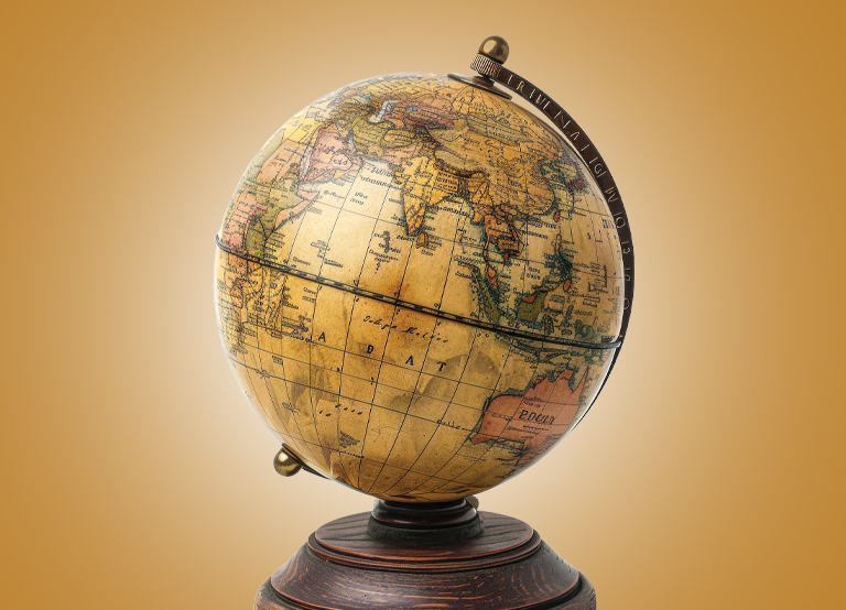
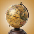
The United Nations General Assembly (UNGA) has encouraged the adoption of a new map that more accurately portrays the proportions of countries and continents. The resolution to adopt the map received support from 164 UN member states. According to experts, the traditional Mercator map, created by the Flemish cartographer Gerardus Mercator, distorts the sizes of certain regions. The map depicts Africa as smaller in relation to its actual size, while regions far from the Equator, such as Greenland, are enlarged. The new map, called the Equal Earth projection, depicts countries more accurately in relation to their actual size and helps represent regions more fairly.
DID YOU KNOW?
A map’s scale allows you to calculate real distances. A scale of 1:100,000, for example, means 1cm on the map represents 1,00,000cm or 1km on the ground.